Urban Fabrics
the basis for next-level traffic management
Blog
Written by Paul van Koningsbruggen
This blog previously appeared in Verkeerskunde No. 5 Dec. 2022
Mobility is deeply rooted in human nature, and politicians in The Hague know it, as is shown by a recent letter that the Ministers of Infrastructure and Water Management and of the Interior sent to the Tweede Kamer, the Dutch House of Representatives, on investment in infrastructure:
“Good mobility ensures that there is food to buy in the supermarkets, that doctors can get to hospitals, teachers to schools, guests to parties and building materials to building sites. It is impossible even to imagine a country without mobility. This is why we are investing in mobility now, when the Netherlands is facing great challenges.”
Urban Fabrics
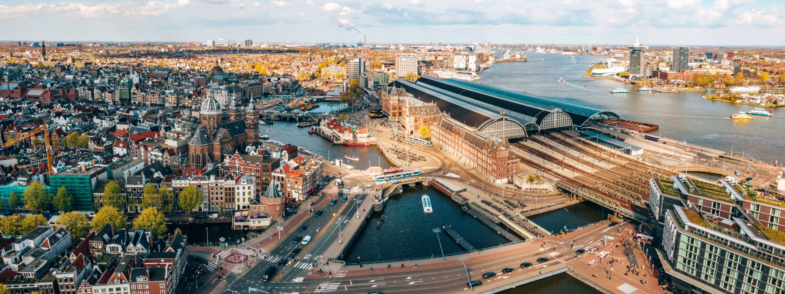
Mobility in itself is a great good, but the way we are mobile can ultimately turn against us: examples are traffic congestion or the emission of too many harmful substances. The question is how we can facilitate and channel mobility, especially if we know that our modes of transport determine the way our cities develop. Our mobility and the modes of transport we use have led to three urban fabrics:

- The ‘walking city’, cut to the measure of the walking human being, who also uses (or used) animal power or bicycles;
- The ‘transit city’, formed on the basis of trams, trains, metro lines and stations;
- The ‘automobile city’, shaped by the car.
According to Peter Newman et al. in their Theory of Urban Fabrics, these urban fabrics each have their own specific features:
- The surface of the urban fabric, which depends on the modes of transport used;
- Its physical components, such as buildings, parks and public space;
- The functions of the area: how people use it, what services are available to them, what products are produced;
- The quality of the area in socio-economic terms, with regard to experience, disruptions and risks.
Limiting and prioritizing modes of traffic
If we take this theory as our point of departure and accept that we cannot simply rebuild urban areas, facilitating and channeling mobility will automatically focus instead on limiting and prioritizing modes of traffic.
In ‘walking city’ areas, pedestrians have first priority and cyclists second. Access for cars is limited, and we preferably use smart speed adaptation to adjust car speeds to pedestrians and cyclists.
‘Transit city’ areas are all about public transport, with bikes as an important support mode. We designate corridors where cyclists or public transport have priority. Motorized traffic will have priority on its own specially designated corridors. This approach has proven to be effective, particularly if we guide motorists using dynamic navigation systems. Urban planners can create wide city boulevards along the corridors where cyclists and public transport have priority.

In ‘automobile city’ areas, we guide motorists to hubs where they can transfer to public transport or bike share bikes or where they can continue their journey on foot. This blocks the automobile city from expanding to other areas, where it could jeopardize accessibility and the quality of the living environment.
Traffic management in connection with the city
The advantage of thinking and working on the basis of urban fabrics is that it frees traffic management from its isolation. We connect traffic management with hubs, shared mobility and public transport planning. But also with parking, electricity networks and distribution; with anything that is important to the urban area. Once this approach is connected at the planning level with accessibility in terms of travel times and convenience, so that essential services such as hospitals, doctors and schools can be reached quickly and comfortably, then we can truly speak of next-level traffic management.
